Follow us on Instagram and Facebook for trail condition updates posted in the early morning hours on grooming days. On our main home page, the Instagram Feed is available without needing a social media account. Just click on the most recent pictures for current grooming reports.
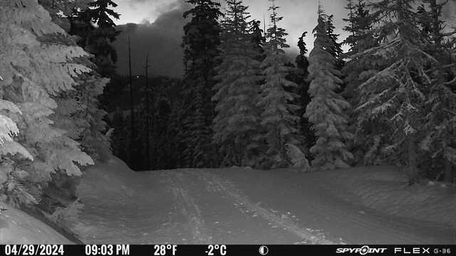
Teacup Webcam
This NOAA weekly forecast is "tuned" to better reflect our micro-climate, which is often slightly colder, sunnier and snowier than the "Meadows" base station. This occurs because the venue is on the leeward / "dry" side of Bennett Pass; this is why the cross country venue was relocated to this precise pocket back in 1979.
We are located on Highway 35, just east/below Bennett Pass; our neighbor across the highway is Mt. Hood Meadows Ski Area. Google Maps: "Teacup Nordic Snow Park" And Hood River County's official address for our venue is: 13001 Highway 35 Mt. Hood, Oregon 97041.
Our 24 kilometers of trails are varied; from flat and easy, to challenging hills with turns. Trails are groomed for both skate and classic skiing. Depending on snowpack, we usually ski from November to May. As conditions allow, our normal midseason grooming schedule is Monday, Wednesday, Saturday, and Sunday.
Your trail, program and event fees as well as donations pay for the grooming, maintenance & improvements as well as programs, races, and family-friendly events. Like all ski areas on Mt. Hood, we pay to operate under a longterm special use permit administered by the US Forest Service - Mt. Hood.

Please park tight & at 90 degrees; if we all work together we can fit over 200 cars!

Remember: you need to buy the State's parking permit.